
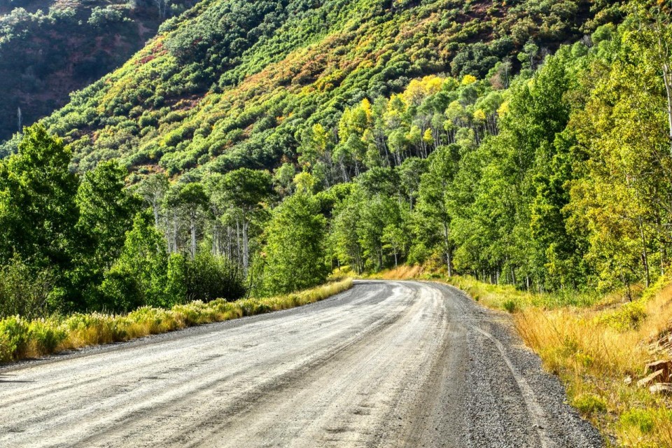
 Scenic Drive: A typical view from the roadway as it twists and turns through the White River National Forest. This drive made during early September was a little too early for viewing fall colors as they were primarily still covered in their summer green foliage. Photo by Gary Warren/ladailypost.com
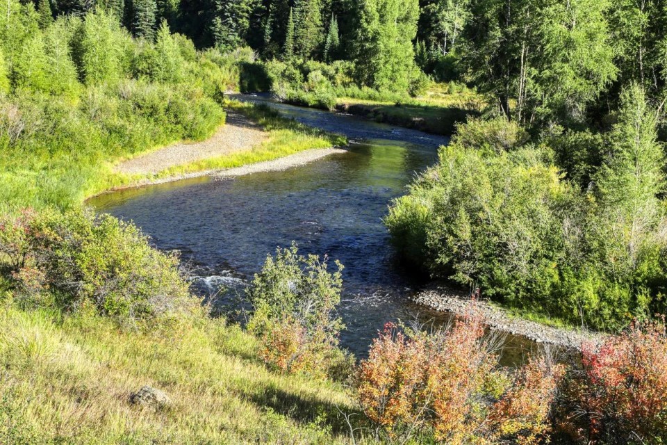 River View: The North Fork of the White River runs near the byway for many miles on the west end of the road as it descends into the town of Meeker. The west end of the byway is paved for about 30 miles out of Meeker. Photo by Gary Warren/ladailypost.com
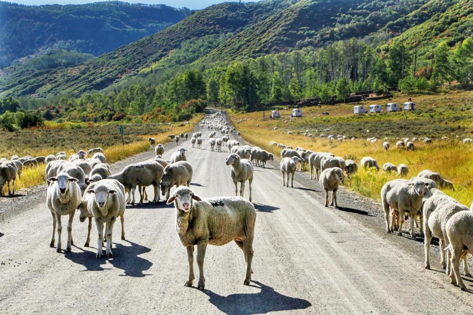 Stop and Go Traffic: Visitors may encounter stop and go traffic while driving the Flat Tops Trail Scenic Byway. However, the traffic delays are not because of vehicle traffic but sheep that graze in the forest land during the summer months. This traffic delay was a delight for us as it provided several photo ops not traditionally found on roads and byways! Photo by Gary Warren/ladailypost.com
By GARY WARREN
Photographer
Formerly of Los Alamos
The Flat Tops Scenic Byway is a remote route in northwest Colorado. which stretches from the town of Meeker on the west end to Yampa, Colo. on the east end.
The byway is about half paved road and about half is a maintained gravel road, which is suitable for any vehicle.
Each end of the byway passes through ranch land on high desert terrain with views of the mountains from either direction. Ranch life and traditions of the old west are alive and well today in this section of Colorado.
The majority of the 82-mile drive is through the White River National Forest. Drivers pass by several natural mountain lakes and ponds as well as the North Fork of the White River, which runs alongside much of the byway.
The highest point of the drive is Ripple Creek Pass at 10, 373 feet in elevation. Most of the mountain peaks in this area range from 11,000 to 12,000 feet.
Editor’s note: Longtime Los Alamos photographer Gary Warren and his wife Marilyn are traveling around the country and he shares his photographs, which appear in the ‘Posts from the Road’ series published in the Sunday edition of the Los Alamos Daily Post.
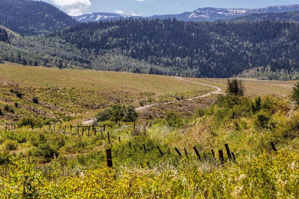
 The Road: A view from a stopping point a few miles out of Yampa shows the high desert landscape with the mountain tops in the distance. The road is paved for about 10 miles out of Yampa before becoming a gravel road for about 40 miles. Photo by Gary Warren/ladailypost.com
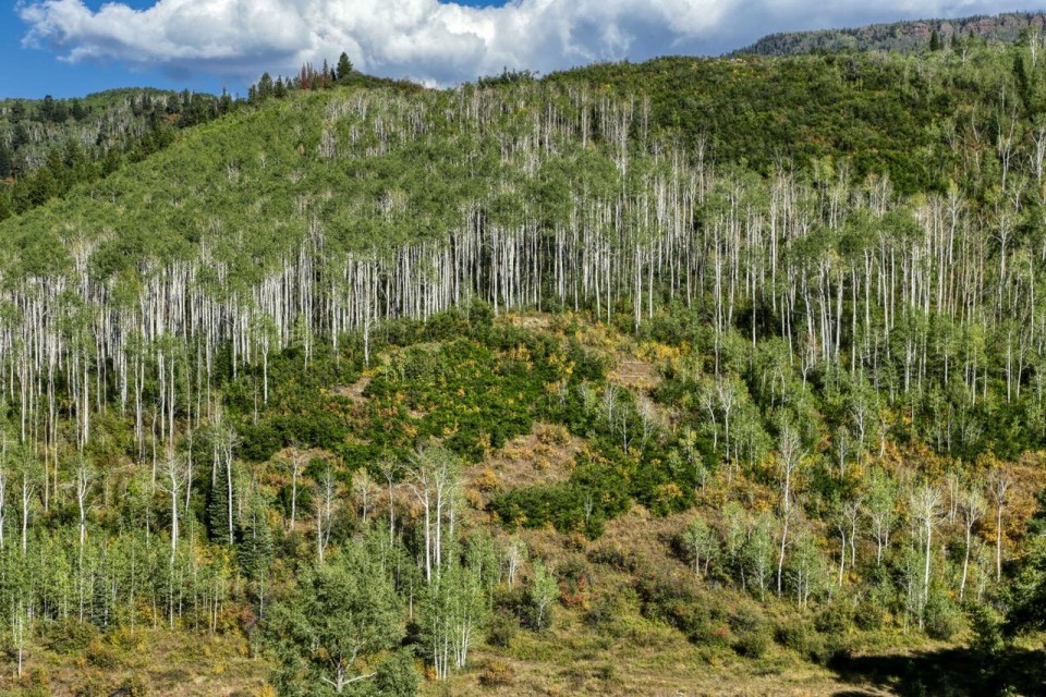 Aspen Hillside: This is one of many of the aspen groves and hillsides that drivers pass during the drive through the national forest. Photo by Gary Warren/ladailypost.com
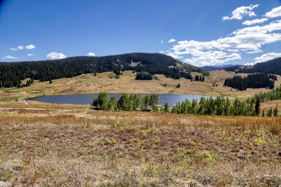 Mountain Lakes: There are several natural mountain lakes and ponds throughout the area. Some of the lakes were near the roadway and offered nice camping and fishing opportunities with awesome views of the nearby peaks. Photo by Gary Warren/ladailypost.com